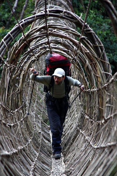
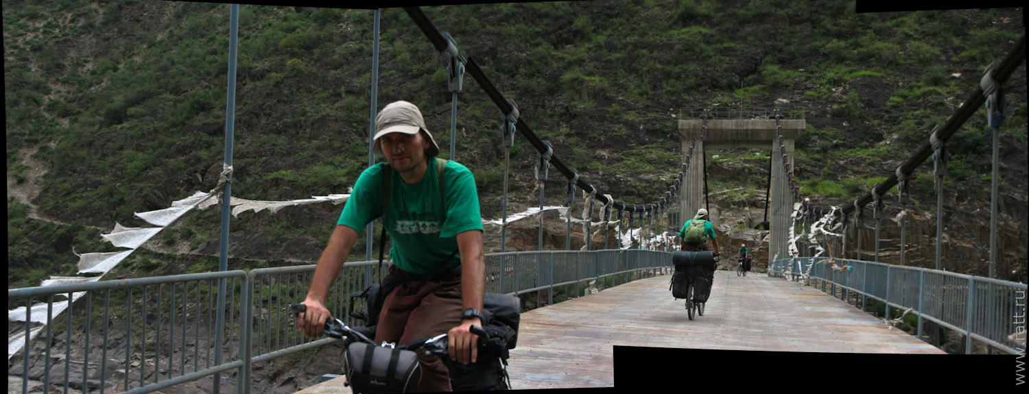
In a nutshell: Expedition to the Indian state of Arunachal Pradesh. First descent of the Subansiri River, jungle trekking expedition to isolated tribes of Arunachal and Tibetan-speaking Memba tribes.

Interactive map of the expedition
Routes of both parts of the expedition – the rafting part and the trekking part – are mapped here. The map shows milestones – our camps, villages, locations of emergency events.
The map also hosts pictures made in expedition. The more you zoom the map, the more pictures will appear on it.
 |
All pictures from the map gathered in one albumIf you just want to see pictures, without following the map – welcome HERE. |
Key to lines and symbols on the map:
– yellow lines – moving on a motor vehicle
– green lines – trekking in jungle
– blue lines – rafting down Subansiri on catamarans
– white semitransparent lines – heave gauge transportation: airplanes, train, bus
To be updated.


